Gurgaon sits in a bowl between the Aravalis, and that’s why it floods every monsoon
Gurgaon's location in a natural bowl between the Aravali hills sends monsoon water rushing straight into its low-lying sectors every year.
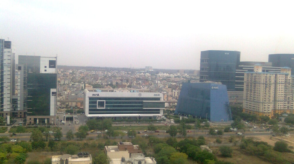
Gurgaon likes to call itself India’s Millennium City, a skyline of glass towers and a financial engine for Haryana. But it took just a few hours of rain this week to strip that image bare, turning stretches of the city into a swamp of stalled cars, dead power lines and drains nobody bothered to mark.
The city logged 115mm of rain over 33 hours — 83mm on Tuesday and another 32mm on Wednesday — enough to collapse a drainage system authorities insist they have been upgrading for years. Waterlogging swallowed Sectors 31, 39, 40, 44, 45, 46, 56, 57, Sheetla Mata Mandir Road, Sohna Road, Basai Road, Kadipur and the Delhi-Jaipur Highway service lane near Narsinghpur — a list long enough to cover most of the city’s map.
The reasons, though, are structural rather than seasonal. Gurgaon is ringed by the Aravalis on all sides but one, with Gwal Pahari in the east sitting at 290 metres above sea level and Najafgarh in the west, the city’s lowest point, at 200 metres — a 90-metre drop, taller than most of the city’s own high-rises. Every monsoon, that gradient sends water rushing down from the hills straight into the low-lying sectors below.
The British had built roughly 100 small check dams and bunds — at Ghata, Jharsa, Wazirabad and Chakkarpur — specifically to slow that flow and let ponds absorb the excess before it reached the city. Most have since been encroached upon or built over; the Ghata bund alone has shrunk from around 370 acres to just 2, replaced by high-end residential towers.



Leave a Reply