Indian scientists build better ionosphere model to improve GPS and satellite reliability
A team of Indian scientists has developed a more accurate model of the ionosphere over India, which could improve GPS accuracy and satellite communication reliability.
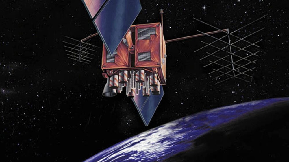
Hundreds of kilometres above Earth, invisible disturbances in the upper atmosphere can bend radio signals, disrupt satellite communications and reduce the accuracy of navigation systems such as GPS. A team of Indian scientists has now found a better way to monitor this region over India, potentially making satellite operations, navigation and communication services more reliable.
The study focuses on the ionosphere, a layer of Earth’s upper atmosphere filled with electrically charged particles that acts as a highway for radio waves and lies along the path travelled by signals from navigation satellites. Changes in the density of those charged particles can delay or distort signals, affecting everything from aircraft navigation and shipping to emergency communications and everyday location services.
Older models typically assumed this layer thins out at a fixed, steady rate with height, a simplification made largely because reliable real-world data was scarce. In reality, that rate varies significantly, which meant existing models often drifted from what was actually happening overhead.
Researchers at the Indian Institute of Geomagnetism, an autonomous institute under the Department of Science and Technology, tackled the problem by combining observations from ground-based ionosondes with satellite measurements from the COSMIC radio occultation mission. Instead of relying on the fixed assumption, their method reconstructs how charged-particle density actually changes with height over the Indian region, offering a more realistic picture, according to the DST.
The research, carried out by K Siba Kiran Guru, S Sripathi and RK Barad, was published in the journal AGU Radio Science. The study provides improved estimates of how the upper ionosphere behaves over India and could be adapted for other parts of the world, with researchers saying the approach could strengthen regional space weather prediction and improve the reliability of communication and navigation systems that millions depend on every day.


Leave a Reply